Scouting Cornfields With a Drone
Something went wrong. Please try again later...
 Extreme weather this spring, either wet or dry, has farmers focused on corn stands and plant health. These days, measuring a problem’s size and scope in given fields has more growers turning to aerial solutions to speed crop scouting and make those timely decisions.
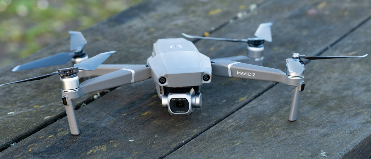
“I’ve learned that there’s real power in a simple casual drone flight to really give you a lot of clues as to what’s going on in the field,” says Bob Nielsen, Purdue University Extension corn specialist. Your phone or tablet attached to the drone flight controller lets you see the crop through its camera.
"There’s real power in a simple casual drone flight to really give you a lot of clues as to what’s going on in the field."
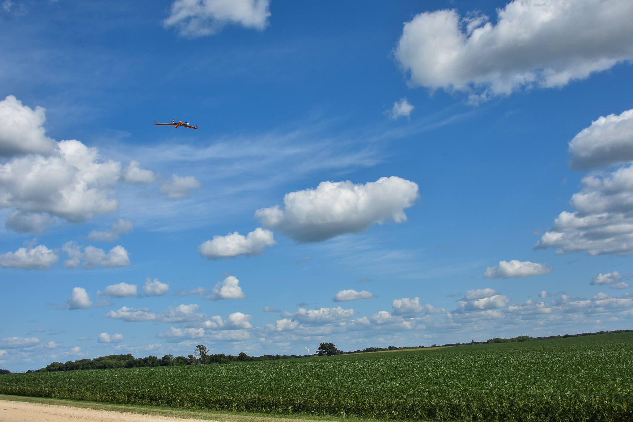
Nielsen says you can quickly fly an 80-acre field to spot any odd-looking patterns, then fly the drone on top of the problem to determine if you need to visit the area in question for ground diagnostics.
The second method Nielsen recommends is using your drone with a cloud-based service that provides whole-field, geo-referenced mapping and analysis, offered by companies like DroneDeploy, Sentera and others. “These autonomous flights will make serpentine passes to shoot hundreds of photos that cover an entire, individual field. Flight images are uploaded to the cloud-based service which stitches them together into a single field image while providing immediate agronomic insights and data records for future comparisons.”
Early-season drone scouting is useful for stand counts, weather damage, nutrient sufficiency, weed escapes and overall plant health and growth.
Ignacio Ciampitti, Kansas State University (KSU) farming systems and research agronomist, says drones offer a quicker way to make replanting decisions, for example. “By flying a field to examine the spatial variability of plants below your target population combined with the size of flooded areas, for example, can determine your best replant strategy,” he says.
His team at KSU works on investigating and developing the basic science (e.g., research in early stand counts with drones) and connecting field data with this technology for the benefit of farmers.
Ciampitti points out that excess rain experienced in many Midwest areas this spring should push farmers to examine nitrogen issues in corn. “By flying a drone to look for yellow or pale corn, growers can begin to determine if a sidedress nitrogen application is needed. Similar flights are also valuable to determine areas impacted by weeds, insects or diseases. They’re especially helpful for making timely crop protection applications and prioritizing field scheduling,” he says.
As extreme weather events continue to occur with greater frequency, drone flights can also help document crop damage. “Drone flights can help determine what sections of fields got initial hail or wind damage, and later flights can see if plants were able to recover or not,” Ciampitti adds.
“Drone flights can help determine what sections of fields got initial hail or wind damage, and later flights can see if plants were able to recover or not."
Casual drone flying offers real-time scouting help. However, to achieve a Remote Pilot Certificate requires studying Federal Aviation Administration (FAA) rules and requirements and passing a written test.
“If you plan to use a drone and subscribe to a cloud-based service that can translate field imagery into actual geo-referenced data, that makes you a commercial operator according to the FAA. You must obtain the certificate,” Nielsen says. “I’m a much safer pilot because of the coursework, as I’m more aware of issues that are up in the sky.”
Many farmers opt to invest in drone or imagery services because they want professional agronomic advice without the added ownership and time needed to learn both flying technology and certification, Ciampitti says. “And they get access to decision support tools to turn data into actionable management decisions.”
Content provided by DTN/Progressive Farmer
Find expert insights on agronomics, crop protection, farm operations and more.